Western Australia
Choose up to 4 products to compare
Products 1-17 of 17
Show
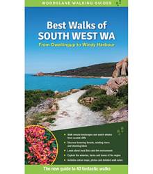
Item #: 9781922800305 -
The South West of WA is a walkers paradise - one of the best known hiking destinations in Western Australia. This brand new guide in Australias bestselling walking guide series introduces forty walks (plus many suggestions for varying them), ranging from leisurely coastal strolls to forest-and-waterfall adventures and more rugged tracks deep in the states famous national parks. Detailed descriptions and clear maps help the reader explore the stunning forests, rivers and beautiful coasts. The...
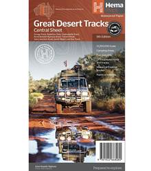
Item #: 9781922668080 -
Hema's Great Desert Tracks maps are essential for anyone travelling in the Australian outback. The mapping features roads and 4WD tracks field-checked by the Hema Map Patrol, Points of Interest for remote area travellers and touring information for learning more about the region and planning your journey. The Great Desert Tracks Central Sheet covers from Judbarra/Gregory National Park in the north to Ceduna in the south, and from Halls Creek in the west to Coober Pedy in the east. Marked...
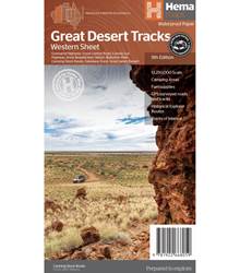
Item #: 9781922668059 -
Hema's Great Desert Tracks maps are essential for anyone travelling in the Australian outback. The mapping features roads and 4WD tracks field-checked by the Hema Map Patrol, Points of Interest for remote area travellers and touring information for learning more about the region and planning your journey. The Great Desert Tracks Western Sheet covers from beyond Derby in the north to Norseman in the south, and from Halls Creek in the east to Marble Bar in the west. Marked on the mapping are...
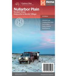
Item #: 9781925625981 -
This map is part of Hema's new Nullarbor Plain Map Series and covers the area from Kalgoorlie to Border Village and its surrounds. Truly one of the worlds great adventure drives, Australia's semi-arid Nullarbor Plain stretches some 1,256 kilometres (781 miles) via the Eyre Highway and links the cities of Adelaide and Perth (or vice versa depending on your direction). The length of this journey is so large we needed to stretch it over two maps; East from Port Pirie to Border Village in...
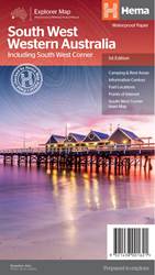
Item #: 9321438001621 -
A regional map for discovering South West Western Australia (WA). On the reverse side of the map are detailed inset maps of Nambung National Park, Avon Valley National Park, Lane Poole Reservation, the South West Corner, Stirling Range National Park, D, Entrecastreaux National Park and Albany Coast. Also included is tourist information for the Coral Coast, Perth, Avon Valley, the Great Southern Region, Peel, Blackwood River Valley, the Southern Forests, the Margaret River region and the...
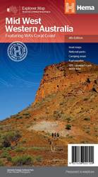
Item #: 9321438002109 -
A regional map of Mid West Western Australia that covers from Cape Range National Park south to Mandurah and as far as Kalgoorlie at a scale of 1:1,250,000 that has camping areas, national parks, fuel supplies and facility symbols marked on the map. On the reverse is region-specific touring information for Wildflower country, Goldfields, Batavia Coast, Geraldton to Kalbarri, Gascoyne and the Outback Coast, Carnarvon and the Blowhole Coast as well as the Great Eastern Highway, with detailed...
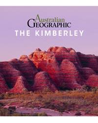
Item #: 9781925403848 -
Australian Geographic, in Association with Woodslane Press is delighted to introduce a new series of photographic souvenir guides to some of Australia’s most beautiful and iconic places. The 64-page large format books will be full of vibrant photography, accompanied by a concise but fascinating commentary by some of Australia’s most experienced travel writers. One of the first two books in the series, the Australian Geographic Book of the Kimberley is an indispensable reminder and souvenir for...
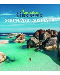
Item #: 9781925868067 -
The 7th title in the new series of photographic souvenir guides to the iconic places of Australia from Australian Geographic and Woodslane Press. This 64-page large format book is full of vibrant photography, and is accompanied by a concise but fascinating commentary from one of Australia’s leading travel writers and photographers.Australian Geographic Southwest Australia is an indispensable reminder and souvenir for both international and Australian visitors to this very special place....
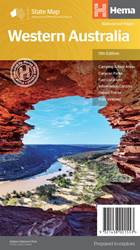
Item #: 9321438001553 -
A state touring map of Western Australia (WA) featuring: Camping and rest areas Caravan parks Fuel locations Information centres Desert tracks Full index Waterproof paper Folded size (WxHxD): 140mm x 250mm x 3mm Flat size (WxH): 700mm x 1000mm Scale: 1:2500000 On the reverse side of the maps are the CBD and through road maps of Perth, plus inset maps of Leeuwin-Naturaliste National Park, Cape Range National Park, Nambung National Park, Francois Peron National Park, Purnululu National Park,...
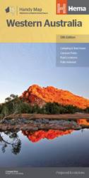
Item #: 9321438001560 -
A compact map of Western Australia for touring throughout the state with a distance grid and index for planning and reference. Marked on the mapping are highways, major and minor roads, camping and rest areas, 24-hour fuel, information centres, picnic areas, caravan parks and lookouts. Features: Camping areasCaravan ParksFully indexedEasy to useUnfolded Size (WxH) - 500mm X 875mmCover Size (WxHxD) - 125mm x 250mm x 3mm Edition:13Publication Date:01/11/19 ...
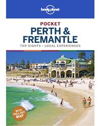
Item #: 9781788682701 -
Lonely Planet Pocket Perth & Fremantle is your passport to the most relevant, up-to-date advice on what to see and skip, and what hidden discoveries await you. Take a quokka selfie on Rottnest Island, savour the sunset from Cottesloe Beach and quaff wine in Swan Valley vineyards – all with your trusted travel companion. Get to the heart of Perth & Fremantle and begin your journey now! Inside Lonely Planet’s Pocket Perth & Fremantle: Colour maps and images throughout...
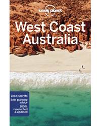
Item #: 9781787013896 -
Lonely Planet’s West Coast Australia is your passport to the most relevant, up-to-date advice on what to see and skip, and what hidden discoveries await you. Snorkel among pristine coral at Ningaloo Marine Park, tour the wineries and breweries in the Margaret River wine region, and experience the bizarre landscapes of the Pinnacles Desert at dawn, sunset and full moon – all with your trusted travel companion. Get to the heart of West Coast Australia and begin your journey now!...
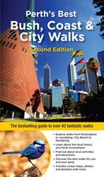
Item #: 9781925868029 -
Perth and its environs boast a huge range of beautiful environments, making the region perfect for exploring on foot. This second edition of Perths Best Bush, Coast & City Walks introduces the best walks for visitors and residents alike, ranging from leisurely beach-side strolls to the more rugged tracks deep in the bush. Detailed descriptions and maps help the reader explore the regions parks, bushland, lakes, coasts and most interesting urban areas. As with previous titles in the...
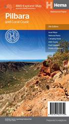
Item #: 9781925625752 -
This regional waterproof map of the Pilbara and Coral Coast is ideal for discovering the northern reaches of Western Australia. The main map covers the diverse marine attractions around Shark Bay, François Peron National Park and the Ningaloo Reef. It also stretches to the gorges of Karijini, lush habitats of Millstream Chichester National Park and the magnificent Marble Bar. It also features additional information relating to permits, useful contacts and historical context surrounding some of...
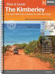
Item #: 9781876413644 -
The definitive guidebook for exploring Western Australia's Kimberley region, featuring the Top 10 4WD Trips written by Ron and Viv Moon, in combination with topographic atlas mapping for the region. This edition of Hema’s best-selling outdoor guidebook for discovering the Kimberley now features 20 atlas pages in a stunning new cartographic style. The guide now features the Top 10 4WD Trips for the Kimberley, which has been written by off-road legends Ron and Viv Moon. Also included is an...
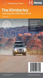
Item #: 9781876413705 -
A regional map of the Kimberley that features the iconic Gibb River Road. On the reverse are inset maps for Purnululu National Park, the Dampier Peninsula and the Parry Creek area. There is also extensive drive detail and trip coverage for the Gibb River Road.Waterproof paperDetailed 4WD tracksNational parksCamping areasGPS surveyed roads & tracksThis new edition of Hema’s best-selling Kimberley map features our latest mapping and points of interest in a stunning new cartographic style. It...
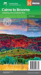
Item #: 9781865007335 -
A touring map for the trip along the Savannah Way between Cairns and Broome at a scale of 1:2,200,000. The maps show 24-hour fuel, outback fuel and LPG as well as caravan parks, camping areas and rest areas. Popular national parks along the route are featured with detailed inset maps of Judbarra/Gregory, Purnululu, Kakadu and Boodjamulla. Also included are contact details for accredited information centres and useful lists of the facilities in national parks. Features: Insets for...